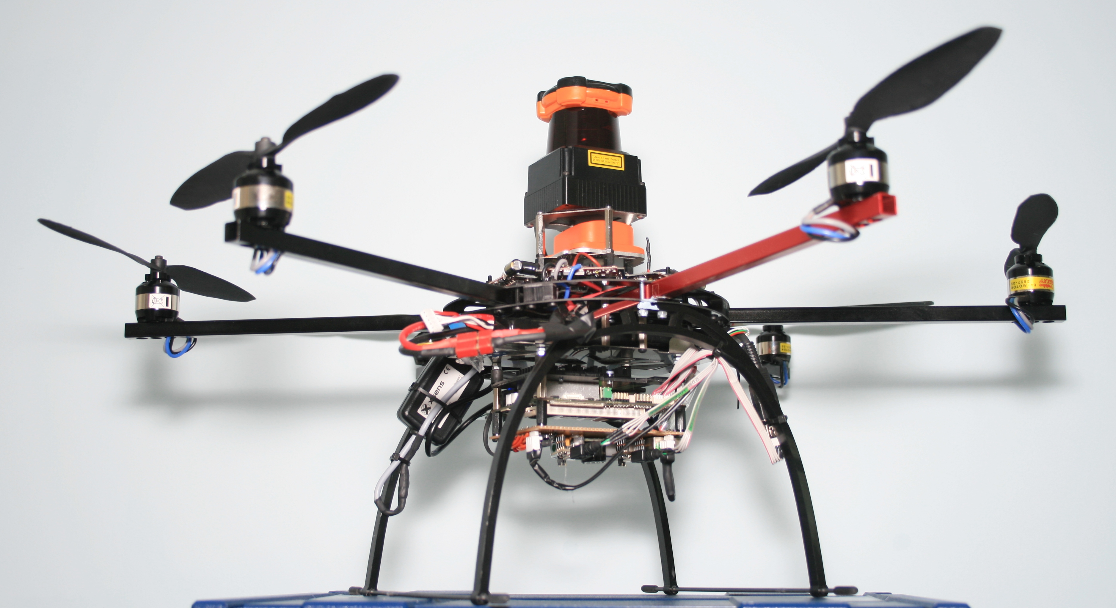
Unmanned Ariel Vehicle (UAV) with Laser Scanning
Category: Characterization > Camera & Surveillance > Surveillance Non-Crawler
Reference # : Model No :
The Decommissioning Technical Department has sponsored a PhD student at the University of Warwick Mobile Robotics Department to develop a flying remotely operated vehicle (ROV) which is capable of mapping its surroundings. The student has adapted a commercially available hexacopter platform to enable it to be flown out of direct site of the operator through the use of a stereo camera visor. The hexacopter determines its position in 3D space using its on-board laser scanning sensors utilizing simultaneous localization and mapping (SLAM) to continually create a map of its surrounding environment and simultaneously 'localize' itself. This enables the ROV to operate inside structures without any prior knowledge of its surroundings as it is not dependent on any external sensors/infrastructure. The operator simply directs it where to go, avoiding any obstacles en route, and the control system pilots the helicopter to the destination.
The student has also developed and integrated an anti-collision system using this same data to automatically prevent the operator from colliding the ROV during flight.
Benefits
Remotely controlled. Mapping abilities. Ability to fly on pre-programmed path without the aid of human piloting. Anti-collision system.
Limitations
This technology is not commercially available yet and is being developed and researched by University Of Warwick, Mobile Robotics Department. The address is Warwick Mobile Robotics, International Manufacturing Centre, University of Warwick, Coventry, CV4 7AL.
Phone: 44 (0)2476 574 306.
Email: mobilerobotics@eng.warwick.ac.uk
Website: http://www2.warwick.ac.uk/fac/sci/eng/meng/wmr/
Comments
Pictures

|
Hexacopter

|

|
Mapping Abilities

|

|
ROV map

|
Videos